.png&w=640&q=75)
Tanzania · Forestry Monitoring
Map and monitor your forestry farms — digitally.
Msitu Smart helps forestry farmers and landowners register farm boundaries on Google Maps, store GPS coordinates, and track monitoring activities through a simple dashboard.
Built for the forests of Tanzania
What you can do
Everything a forestry steward needs in one dashboard.
Designed for small and medium forestry stakeholders — farmers, cooperatives, conservation projects, and local landowners.
Register forestry farms
Capture farm name, region, district, size, and tree type in seconds.
Draw boundaries on Google Maps
Click to mark boundary points and store precise GPS coordinates.
Upload monitoring images
Attach photos to a farm or to individual monitoring entries.
Track monitoring logs
Record observations like growth, encroachment, or maintenance.
View farms on a map
See all your farms as polygons on a single interactive map.
Secure dashboard
Password-protected accounts keep your forest data private.
Why Msitu Smart
From manual visits to live digital records.
Most forestry monitoring in Tanzania is still manual — slow, expensive, and hard to verify. Msitu Smart replaces paper with precise GPS data, photographs, and timestamped logs you can trust.
- Catch encroachment and illegal cutting earlier.
- Reduce reliance on costly site visits.
- Build a foundation for drones, satellites, and carbon reporting.
From the field
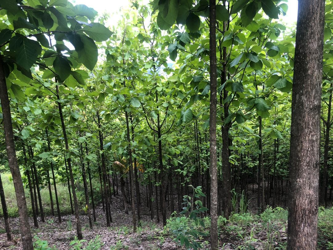
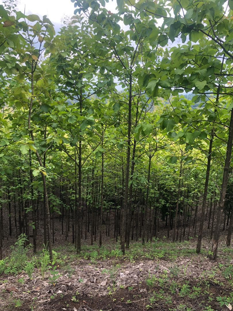
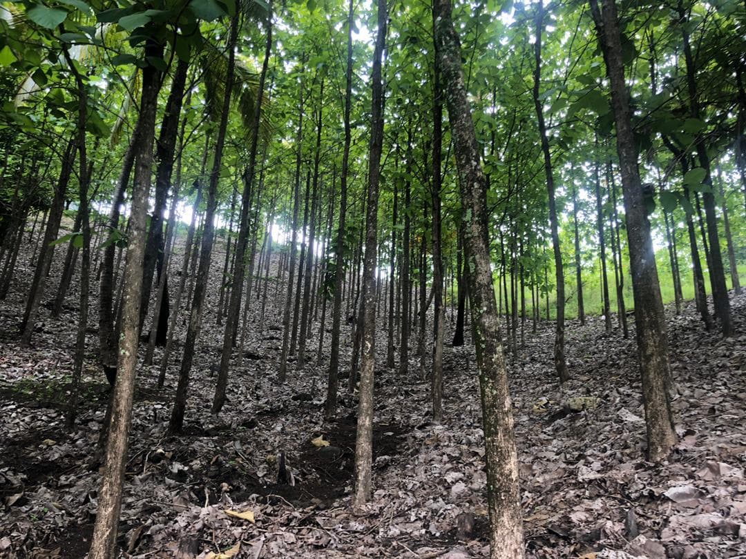
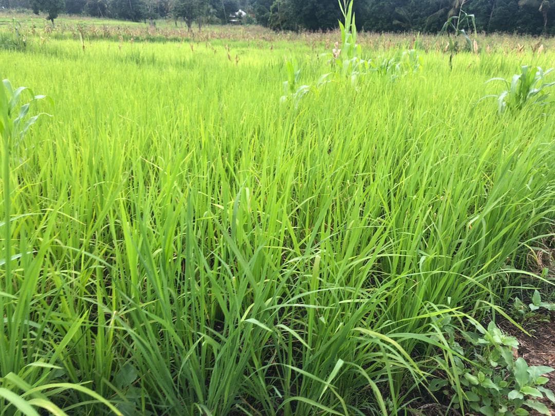
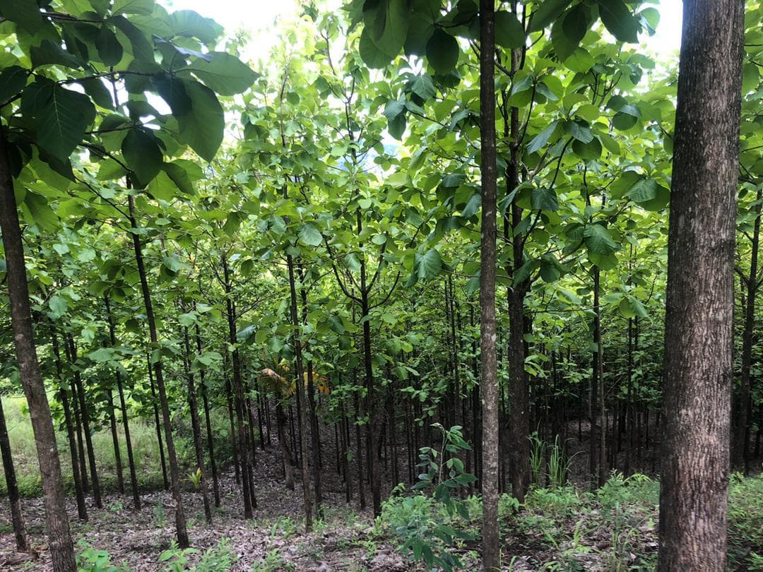
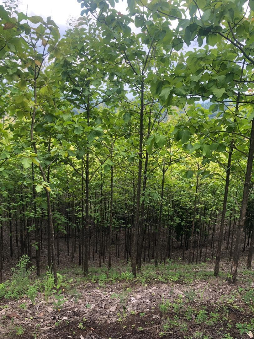
Forestry farms in Iringa.

Bring your forest into the digital age.
Built for small and medium forestry stakeholders in Tanzania.